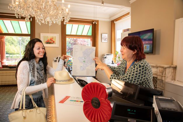
The walk towards Tyne Cot follows the ‘Road to Passchendaele’ that Australian troops followed in 1917 to take Passchendaele. Along the walk are several information carriers telling you the history of Zonnebeke. Both WWI and non-WWWI. The wheelchair-accessible Tyne Cot Cemetery walking loop is 5.8 km long. Download the walking map here.
Accessible paths and sanitary facilities
The walking loop starts and ends at the Castle Building is on accessible paths. The type of surface is indicated on the plan and is mainly paved. The semi-paved sections are of such quality with fine crushed stone to make it doable for wheelchair users.
There are accessible toilets at the Castle House (free), the Castle Estate (free) and at Tyne Cot Cemetery (€0.50) which you will encounter in half the walk.
We recommend a companion. Although there are no obstacles and few thresholds larger than 2 cm along the route, there are certain sections that have a gradient greater than 5%.
Practical information
- Start: Castle building
- Distance: 5.8 km
- Food: You can get something to eat and drink at the Zonnebeke ReCa in the centre of Zonnebeke.
- Parking: Accessible parking spaces have been set up in car park 2 of the Castle grounds located at Berten Pilstraat 5B, 8980 Zonnebeke.
Info panels
- Abbey of Zonnebeke
- Abbey garden
- Road to Passchendaele
- Battle of Broodseinde
- Thames Farm
- Daring Crossing
- A generation lost
- Keerselaarshoek
- Tyne Cottage
- Flandern I & II stellung
- New Zealand in Passchendaele (not on the route)
- ‘s Graventafel (not on the trail)
- Beecham Dugout (not on the route)
- Those who did not return


